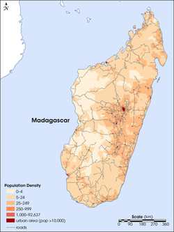
This is a population density map of Madagascar, which shows the most populous areas of the island. As seen on the map, most of the population is located in the mid-eastern area of the country. One reason for this is because the capital, Antananarivo is located in the east. Antananarivo is a large urban area, which is the main reason for its heavy population. The capital is the densest area on the map and its surrounding areas are the other areas where it is mostly populated, because people like to stay near the city.
Coordinates: 20 00 S, 47 00 E
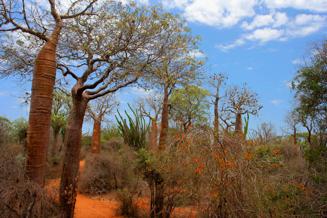
Madagascar is located in southern Africa and is an island located in the Indian ocean. Madagascar is know as the fourth largest island in the world. The total area of Madagascar is 587,041 square kilometers, in which about 5,501 km are water area. For reference, it is about four times the size of Georgia. The climate along the coast is tropical and there are often cyclones. The climate is arid in the southern areas and temperate inland. About 71% of the land is agricultural land. Most of the population is located on the eastern half of the island near their capital, Antananarivo. Madagascar is currently facing erosion and soil degradation because of deforestation and overgrazing.
Madagascar is located in southern Africa and is an island located in the Indian ocean. Madagascar is know as the fourth largest island in the world. The total area of Madagascar is 587,041 square kilometers, in which about 5,501 km are water area. For reference, it is about four times the size of Georgia. The climate along the coast is tropical and there are often cyclones. The climate is arid in the southern areas and temperate inland. About 71% of the land is agricultural land. Most of the population is located on the eastern half of the island near their capital, Antananarivo. Madagascar is currently facing erosion and soil degradation because of deforestation and overgrazing.